

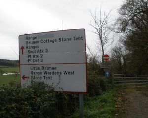
The Training Area at Kirkcudbright is both hidden from sight and in plain view. Along the main Kirkcudbright to Dundrennan road, the Military Base is obscured behind thick shrubs and dense conifers. From the peripheries, the Base can be glimpsed over fields and hills.
When the flags are down, the public can walk the internal roads. Here are photographs from walks around and on the Base.
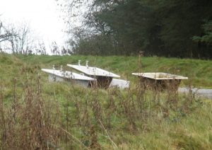
Being on the Base, walking, driving watching, feels more of melancholy than trespass. There are hollows of sorrow and abandonment among the remains of fire and the utilities of concrete.
The Training Area at Kirkcudbright is both hidden from sight and in plain view. Along the main Kirkcudbright to Dundrennan road, the Military Base is obscured behind thick shrubs and dense conifers. When the flags are up and the roads into the Base are closed to the public, the cliffs and folds of the Base’s land can still be viewed from over the loose, barely fenced boundaries to the east and west.
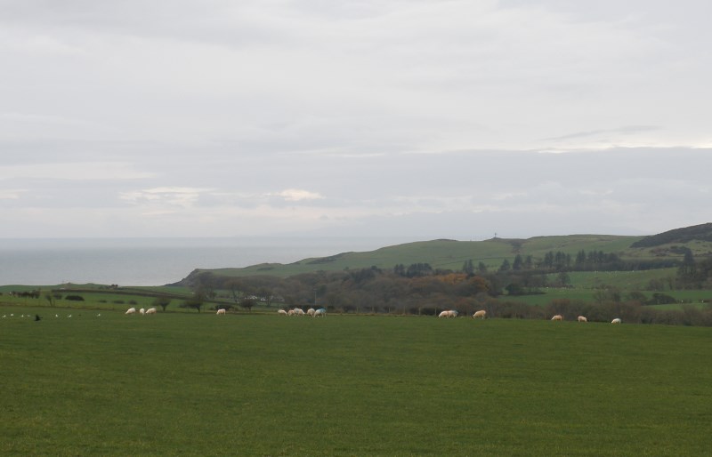
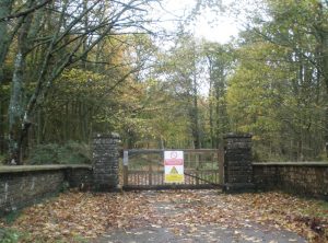
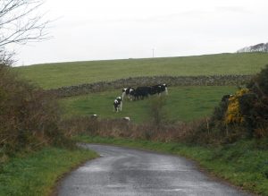
When the flags are down and the Base is absented of Military firing, some roads and walking paths are open to the public. There are farms that continue to be worked there; cattle and sheep graze the land.
Being on the Base, walking, driving watching, feels more of melancholy than trespass. There are hollows of sorrow and abandonment among the remains of fire and the utilities of concrete.
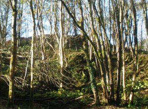
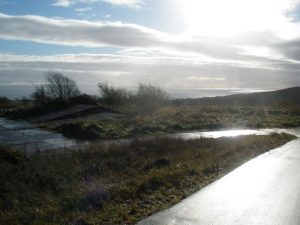
From the hills to the west of the Kirkcudbright Training Area, one can look over the deep crevice of Abbey Burn and the sea cliffs that edge the Base. Standing here, to one’s back is a cemetery, fenced in red stone like a welt in a geological bloodstream. Cemeteries, like military fortifications, have long associations with littoral zones, the shorelines that bind life and death.
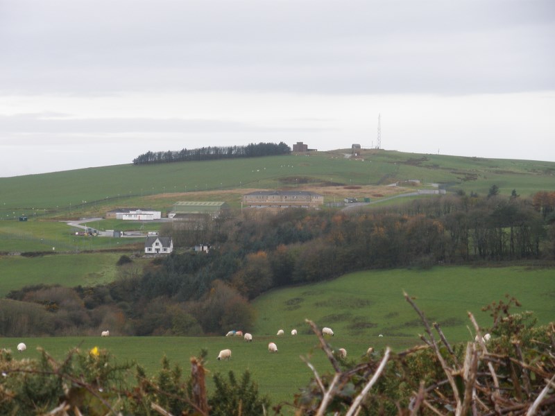
Base buildings seen from the near hills
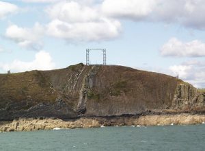
This is a photograph by the MOD from the sea of a target gantry on the cliffs.
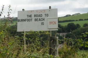
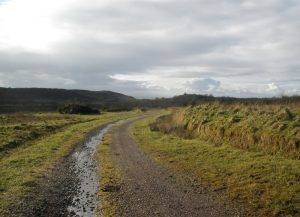
When there is no firing, when the flags are down, the roads onto the Base are open, this one, a favourite of dog-walkers.

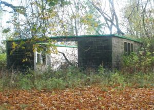
On Ordnance Survey maps, this area is listed as Netherlaw House. From the growth, it looks as if the house was demolished many years ago. Other settlements on OS maps are still inhabited.
Ever a strategic site, the land gives itself to human military strategies, smuggling and seaborne embarkations. There are Iron Age forts here, now covered by woods, out of bounds even to troops. The Military is tasked with protecting them.
The base is a rehearsal space. This must be a rehearsal room.

Concrete tether to the sea.

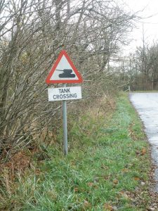
I didn’t photograph any farm buildings; it felt too invasive. What could privacy mean when one’s farmland is a military training ground, subject to the passing by of troop convoys and the booming, bed-battering blasts of tank firings. It felt too predictably a zone for the voyeur. This is a place to graze animals and walk one’s dogs and rehearse a one-sided war.
Farm and Base merged. This is behind a gate, on the Base.